Navigation Tools such as assistive technology are used by people with vision impairment to navigate their surroundings effectively. These tools combine the use of canes, guide dogs, sound, smell, touch, GPS, and apps on the mobile phones. So what are the tools and how are they used. Each of these tools replaces sight in different ways.
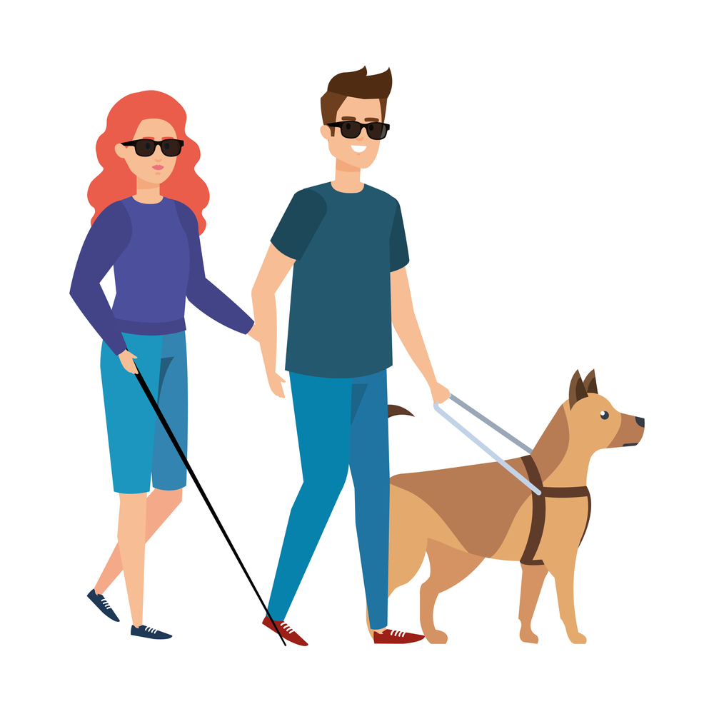
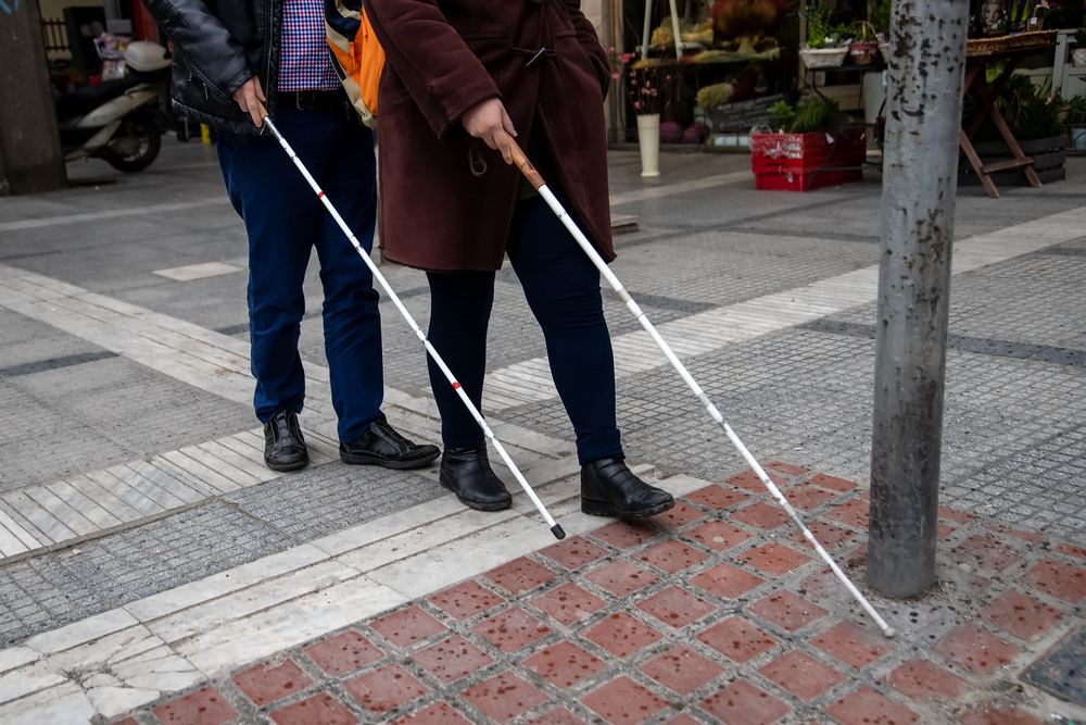 Physical Tools
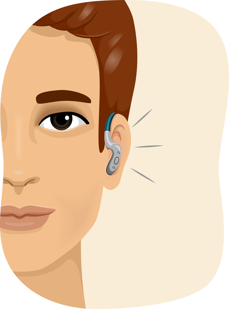
Other Senses
 Technology
How?